


In case of an emergency
Leak or gas smell
Call 9-1-1. If this service is not available in your region, call 1 800 361-8003.
Natural gas is odorless. An odorant is added to it to enable leaks to be detected.
This substance, mercaptan, gives off a strong smell of rotten eggs.
Whether it is news, intervention guides, safety data sheets, land-use planning documents, or specialized training, this page brings together essential tools to ensure a quick, safe, and effective response in emergency situations.
You will also find interactive maps, partner references, and targeted communications to assist you in your operations.
News
- Notice to fire safety services – floods: The importance of acting collaboratively in the context of floods. (In French only)
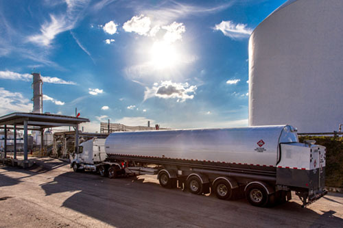
Intervention Guides
Access our intervention guides designed to help you manage various situations. These guides provide information about the product, its risks, and the measures to deploy to ensure a quick and effective response.
Safety Data Sheets
Consult the safety data sheets for essential information on the products we use.
These sheets provide details on the hazards posed by these products and advice on handling them safely.
Land Use Planning
Tools and documents for urban planners to safely integrate the Énergir transmission network into their projects.
Public Awareness Tools
Communication initiatives and resources to help the public live safely with natural gas.
Other communication tools are available upon request, including “scratch and sniff” inserts containing an odorant patch to help familiarize yourself with the smell of natural gas, which closely resembles rotten eggs. Contact us to receive them free of charge!
Training & Awareness Programs
Our online courses address the unique requirements of fire services. Flexible, accessible modules help responders improve skills and knowledge to maintain preparedness and safety.
A field-based training on emergency response to incidents involving LNG is also available.
Want more information or wish to register for training?
Partner References
Consult our partners’ tools below to learn more about our joint projects
These strategic partnerships demonstrate our commitment to strengthening the effectiveness and reach of our service offerings.
- Pipeline intervention reference framework (Ministry of Public Security - In French only)
- Fire operations guide (Ministry of Public Security - In French only)
- Guidelines for work near our underground infrastructure (Info-Ex)

Access our interactive geospatial maps
Access our interactive geospatial maps of the gas network and LNG activities.
They display strategic assets and include essential information for planning emergency response management in your area.
Contact our geomatics team to learn how to access our gas network map.
For any questions about emergency preparedness, our team is here to help.
Do not hesitate to contact us for advice, information, or support tailored to your safety and prevention needs.
© 2004-2026, Énergir. All rights reserved.